Services
Pavement Condition Survey
Explore the full capabilities of our Pavement Condition Survey services with the RAS Team!
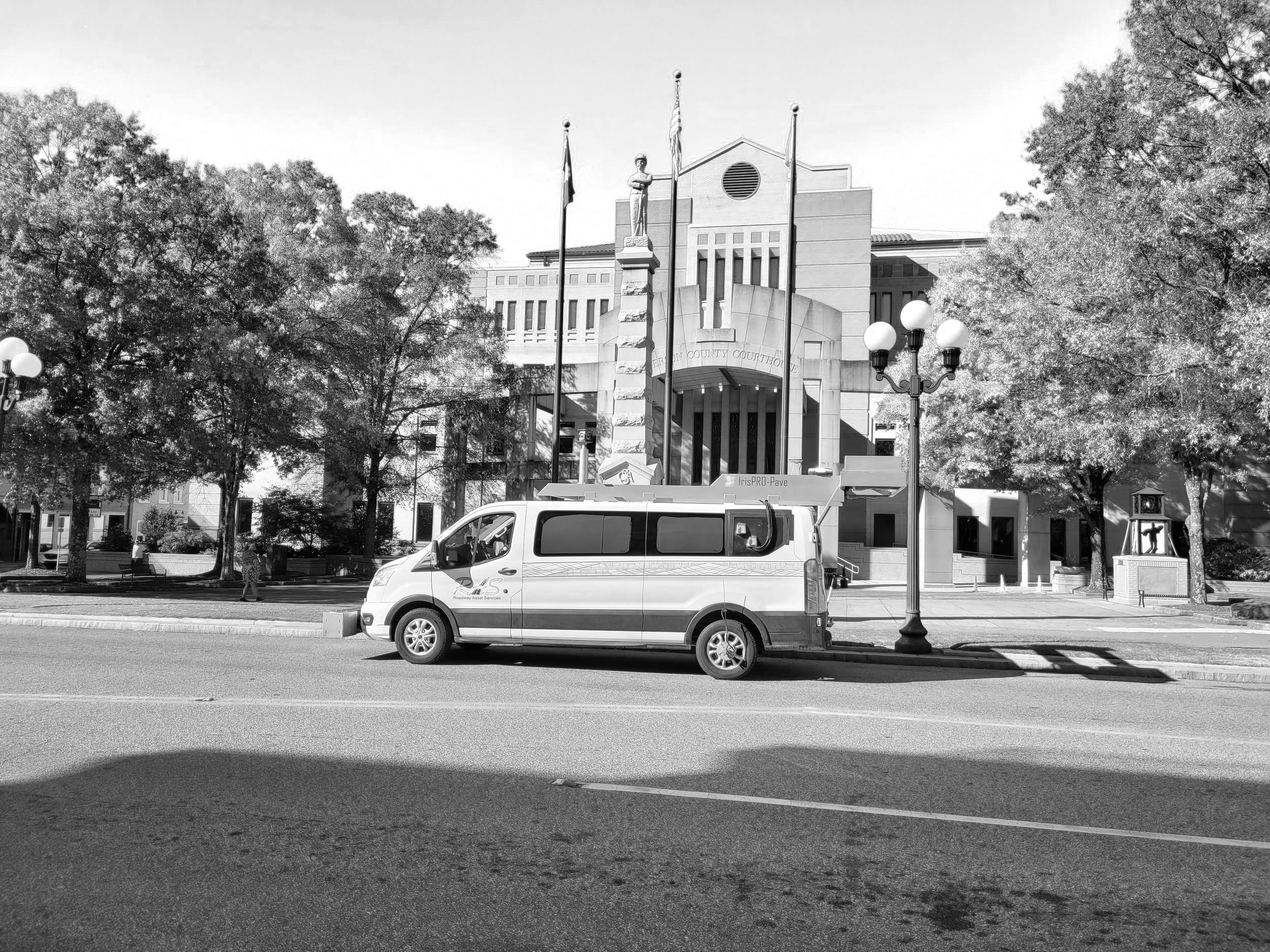
At RAS, we offer advanced pavement evaluations that harness line scan laser technology, high-definition right-of-way imagery, and certified profilers for roughness reporting.
Road TRIP
Discover the complete potential of our Road TRIP software alongside the RAS Team!
At RAS, we leverage our Road TRIP Software, which consumes the laser based pavement distress measurements, classifies the distress types, quantifies the distress densities, and calculates a ASTM D6433 Pavement Condition Index (PCI).
Sidewalk Assessments
At RAS, we are proud to partner with agencies to ensure all public walkways are safe, accessible, and well-maintained. Our advanced data collection vehicles, PROWAGons, are equipped with high-definition 5K cameras that capture detailed imagery and inertial measurement units (IMU), ensuring a precise condition assessment.
Learn more and take the first step towards smarter, more efficient sidewalk management!
Traffic Sign Inventory
At RAS, we have a proven track record of developing large-scale traffic sign and support inventories. Sign inventories typically include cataloging MUTCD codes, condition, location, text, and many other attributes. RAS has surveyed more than 100,000 miles of roadways and catalogued over 1,000,000 signs.
Learn more and take the first step towards smarter, more efficient sign inventory management with RAS!
Right-of-Way (ROW) Asset Inventory & Assessment
Are you in search of comprehensive Roadside Feature Development Services that utilize cutting-edge technology and in-depth industry expertise?
At RAS, we proudly offer innovative solutions in Right-of-Way asset data management using our RAS ART (Asset Realization Tool) software, designed to develop feature classes such as: signs, sidewalks, pedestrian curb ramps, curb & gutter, pavement striping, pavement markings, street lights, drainage features and many others.
RAS Videologger
Our cutting-edge Image Viewing Tool is designed for municipal and state agencies to virtually navigate and manage roadways from the office. The web-hosted Videologger was built to consume all pavement and Right-of-Way imagery, in addition to including a map widget where pavement conditions or other asset features can be displayed.
Don't let GIS data challenges slow you down. Reach out to RAS for tailored, technology-driven infrastructure solutions. Contact us today for smarter, more efficient maintenance.
Agencies Nationwide Partnered with the Roadway Asset Services (RAS) Team:

Discover how our expertise and consistency drive the success of our pavement and asset management projects. Click here to learn more about our team and their exceptional work!
Meet the Team
